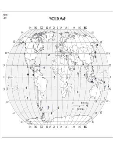
World Map Samples
-
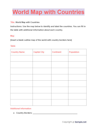
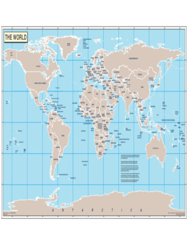
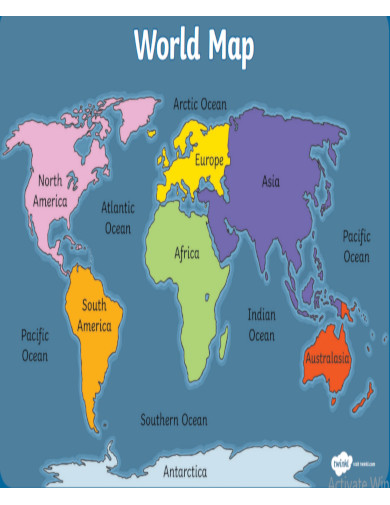
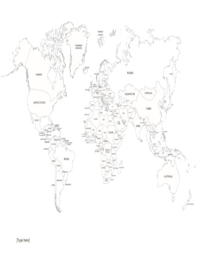
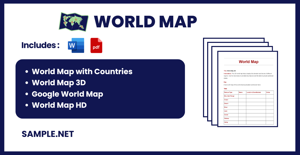
World Map with Countries
download now -
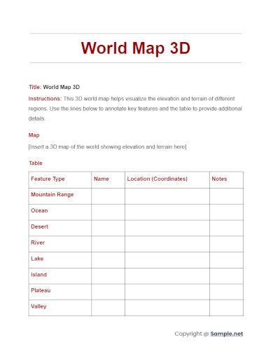
World Map 3D
download now -
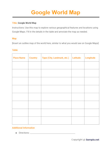
Google World Map
download now -
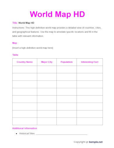
World Map HD
download now -
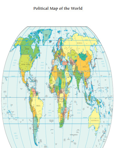
Political World Map
download now -
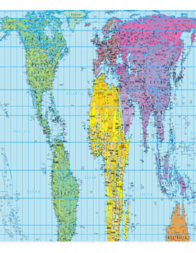
World Map PDF
download now -
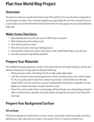
World Map Project Manual
download now -
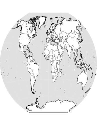
General World Map
download now -
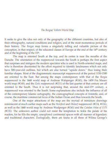
Velletri World Map
download now -
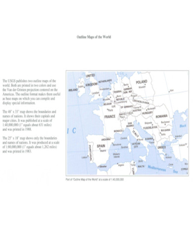
Outline Maps of the World
download now -
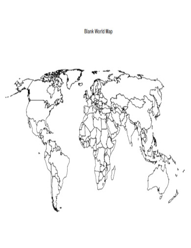
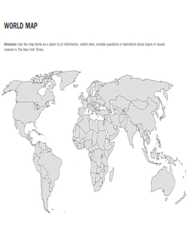
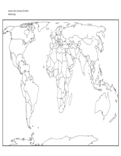
Blank World Map
download now -
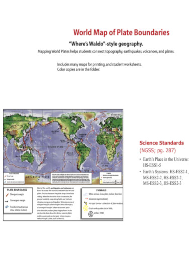
World Map of Plate Boundaries
download now -
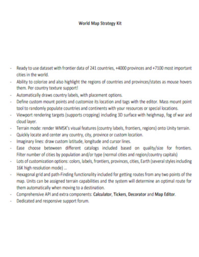
World Map Strategy Kit
download now -
The United Nations World Map
download now -
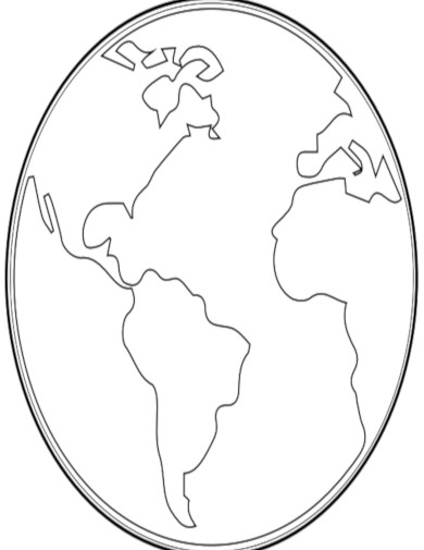
Basic World Map
download now -

World Map and Compass Rose
download now -
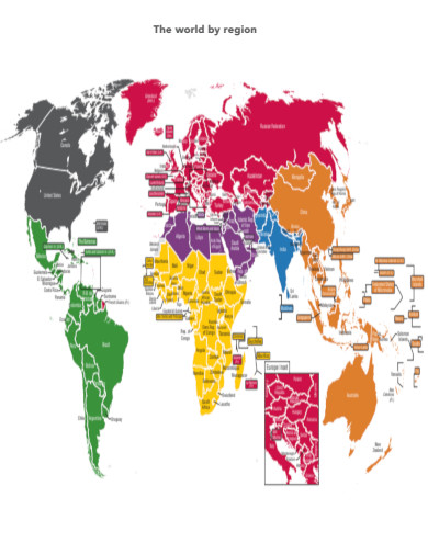
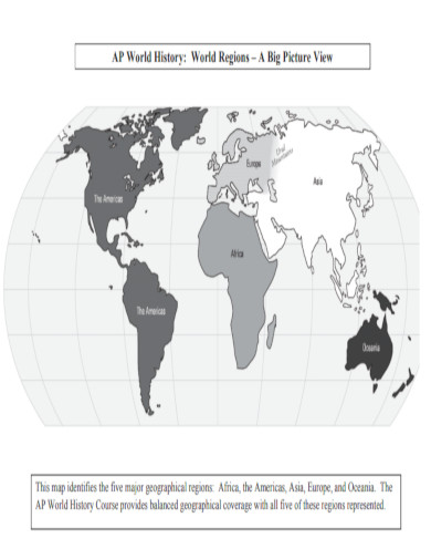
World Map by Region
download now -
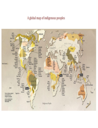
Global World Map Indigenous Peoples
download now -
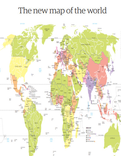
New Map of the World
download now -
World Map Design
download now -
Development Education World Map
download now -
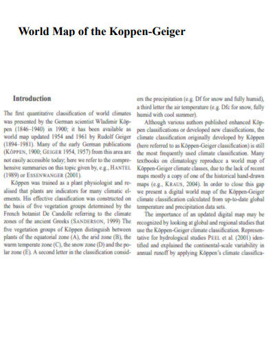
World Map of the Koppen Geiger climate classification
download now -
Political White World Map
download now -
Graphic Record of a Lost Wall Map of the World
download now -
Piri Reis World Map
download now -
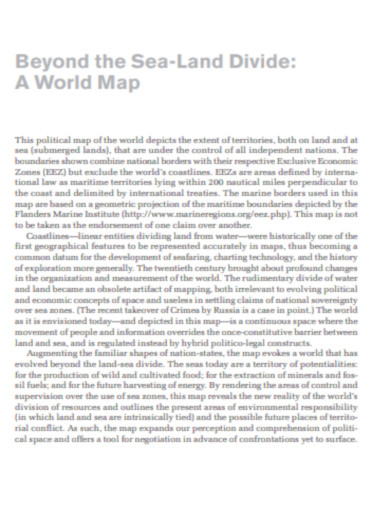
Beyond the Sea Land Divide World Map
download now -
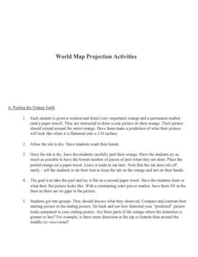
World Map Projection Activities
download now -
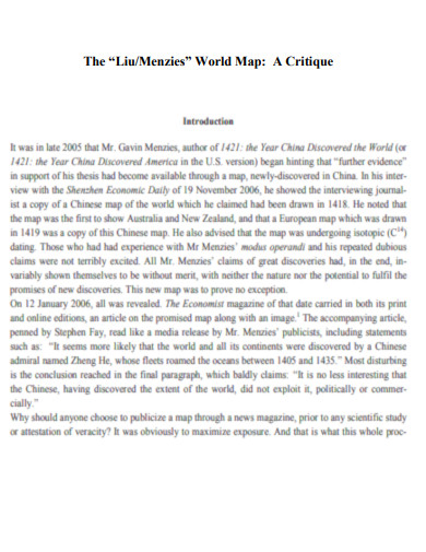
Liu Menzies World Map
download now -
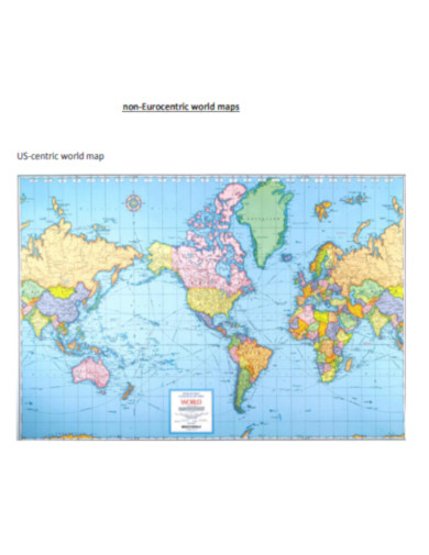
Non Eurocentric World Map
download now -
Free World Map
download now -
Simple World Map
download now -
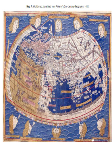
2nd Century Geography World Map
download now -
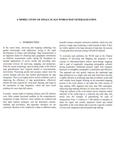
World Map Generalization
download now -
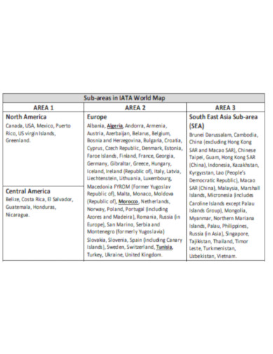
Sub Areas in World Map
download now -
RWorld Map
download now -
Important World Maps
download now -
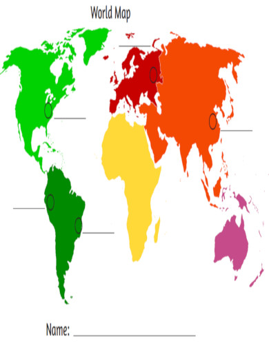
World Map for Kids
download now -
World Map Activity Sheet
download now -
Printable World Map
download now -
World Map Project
download now -
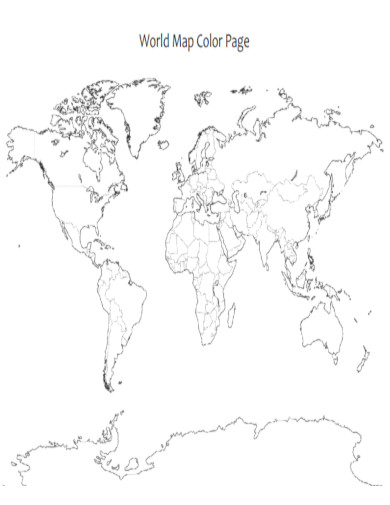
World Map Color Page
download now -
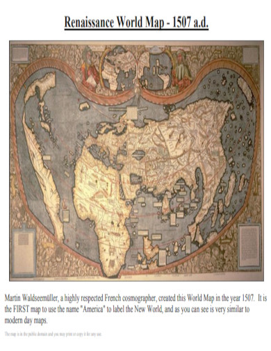
Renaissance World Map 1507AD
download now -
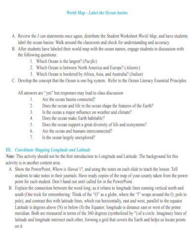
World Map Ocean Basins
download now -
New World Map Model
download now -
World Map Projections
download now -
World Map Circumference of the Earth
download now -
Medieval World Maps
download now -
World Map Strategies of Identification
download now -
Editable World Map
download now -
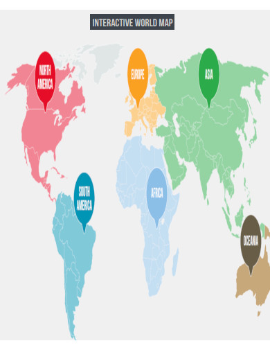
Interactive World Map
download now -
Professional World Map
download now -
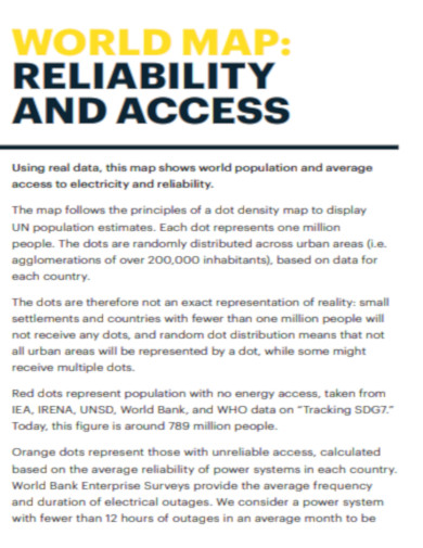
World Map Reliability and Access
download now -
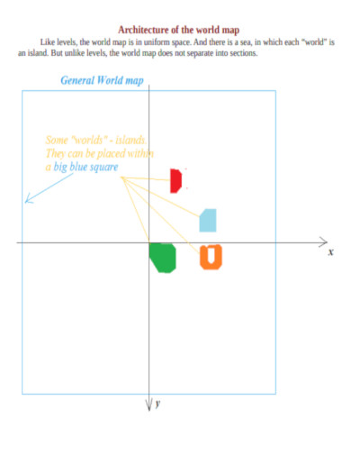
Architecture of the World Map
download now -
Standard World Map
download now -
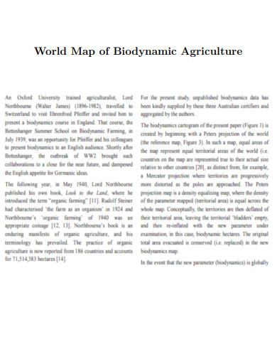
World Map of Biodynamic Agriculture
download now -
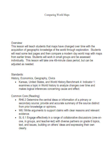
Comparing World Maps
download now -
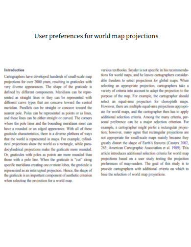
User Preferences for World Map Projections
download now
FREE World Map PDF s to Download
World Map Format
World Map Samples
What is World Map?
Benefits of a World Map
How to Create a World Map
What are the tips for creating a world map?
How much does a world map cost?
How does a world map accurately represent the different continents?
What are the major features displayed on a world map?
What are the benefits of using an interactive digital world map?
What are the limitations of using a flat world map to represent a spherical Earth?
Why is it important to have an accurate scale on a world map?
How do world maps help in understanding global trade routes?
What are some common uses of world maps in business and logistics?
How can you use a world map to identify time zones?
What are the key differences between a world map and a globe?
How do latitude and longitude lines appear on a world map?
How can a world map be used to understand climate zones?
How do you locate the equator and the prime meridian on a world map?
What role do world maps play in teaching geography in schools?
How can a world map be used to study the distribution of natural resources?
World Map Format
1. Title
World Map
2. Introduction
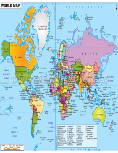
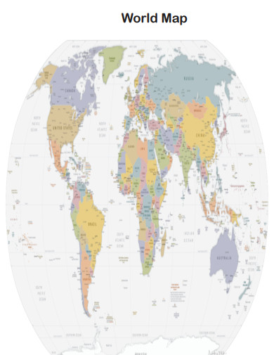
The world map provides a comprehensive view of all the continents, countries, and major geographical features on Earth.
3. Content Sections
- Continents: Label and color-code each continent.
- Countries: Outline and label each country.
- Oceans and Seas: Label all major oceans and seas.
- Major Cities: Indicate major cities around the world.
- Geographical Features: Highlight important geographical features such as mountains, rivers, and deserts.
4. Legends and Symbols
Include a legend explaining the symbols used on the map (e.g., capitals, major cities, mountain ranges).
5. Scale and Orientation
Provide a scale for distance measurement and a north arrow for orientation.
6. Source and Date
Include the source of the map data and the date of creation or publication.
What is World Map?
A world map is a visual representation of the Earth’s surface, showing the geographical locations of continents, countries, and major physical features. It provides a comprehensive view of global geography, allowing users to understand spatial relationships and navigate different regions. World maps are used for various purposes, including education, travel planning, and strategic decision-making. They come in different projections, each with its advantages and limitations, to represent the spherical Earth on a flat surface. Understanding a world map helps in comprehending global dynamics and geographical diversity.
Some examples of a world map are a world political map, a world weather map, a Google world map, and a time zone world map. A world map has a political use for countries that want to engage with one another. It can be easy for every country to visit another country with the use of world maps. To be exact on what you are working with, a world map should have high quality. It should be in high resolution to best achieve your purpose.
Benefits of a World Map
A world map continent or a world map with countries can benefit many users. Through the world map image, we can be familiar with every place in the world. No wonder travelers go to places with a world map. It is much better than a globe because you can bring it anywhere. The world map is simple to understand and is always accurate. Come let us learn some of the benefits of a world map.
How to Create a World Map
World maps are widely available in stores. But you may want to create a world map that can be specific to your needs. In times like this, you can customize a world map. Use the following steps in creating a world map:
1. Find a Pattern
The first thing that you can do is to find a pattern. Search for some world maps on the internet. Through this, you can have an idea of how you can make a perfect world map. You will also have the perfect pattern that you can copy. You should also take a look at our Boutique Business Plan
2. Draw a Map
After finding a pattern, get a large piece of good paper and a pencil. Copy the world map according to the size of the world map that you want. After that, trace the pencil using a pen to perfectly draw your world map.
3. Customize Your Map
After drawing the map, you can start customizing your map according to your needs. Put the details that you need to include in your map, whether it should be a political world map or a weather world map.
4. Design Your Map
The last part of creating a world map is designing it. Color your world map while using a good style. The usual color of the world map is blue. But you can use other colors with it to enhance its appearance. You should also take a look at our School Development Plan
What are the tips for creating a world map?
The tips for creating a world map are using a big paper, learning from a guide, and using grid lines for reference. You should also take a look at our Training Plan
How much does a world map cost?
A world map can cost $29 – $379. It depends on the design and size of the world map. You should also take a look at our Strategic Plan
How does a world map accurately represent the different continents?
A world map accurately represents different continents by using specific projections and scaling techniques. Here’s how it achieves this:
1. Projection Methods
Different map projections like Mercator, Robinson, and Winkel Tripel help in displaying continents accurately, though each has its trade-offs.
2. Geographic Coordinates
Latitude and longitude lines ensure that the positioning of continents aligns with their true global locations, akin to a Process Map.
3. Scale Accuracy
Accurate scaling is used to maintain proportionality between continents, ensuring size differences are represented correctly.
4. Detail and Precision
Modern maps use high-resolution data to include detailed geographic features, improving accuracy.
5. Continuous Updates
Regular updates to map data reflect geopolitical changes and natural developments, maintaining the map’s relevance and accuracy. You should also take a look at our Audit Plan
What are the major features displayed on a world map?
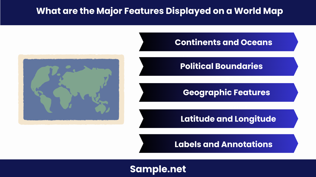
World maps display various essential features that help users understand global geography. Key features include:
1. Continents and Oceans
All continents and major oceans are clearly marked, showing their relative positions and sizes.
2. Political Boundaries
Countries, states, and cities are outlined, similar to how Best Marketing Plan outline organizational structures.
3. Geographic Features
Mountains, rivers, deserts, and forests are depicted to highlight physical geography.
4. Latitude and Longitude
Grid lines help in pinpointing exact locations, facilitating navigation and global positioning.
5. Labels and Annotations
Important labels provide names and additional information about key locations and features. You should also take a look at our Care Plan
What are the benefits of using an interactive digital world map?
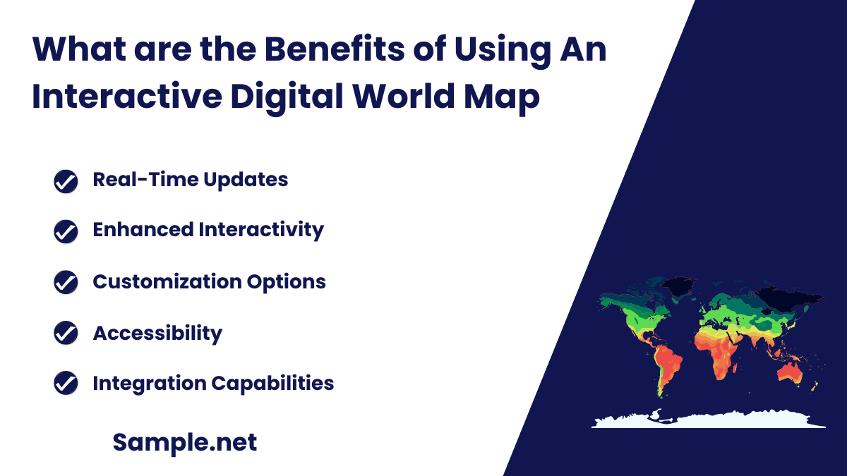
Interactive digital world maps offer several advantages over traditional maps. Here are the benefits:
1. Real-Time Updates
Digital maps are constantly updated with the latest data, ensuring accuracy and relevance.
2. Enhanced Interactivity
Users can zoom in, search for specific locations, and get detailed information, much like creating Nursing Care Plan for specific needs.
3. Customization Options
Personalize views by adding layers such as weather, traffic, or geopolitical boundaries.
4. Accessibility
Accessible from various devices, digital maps provide convenience for users on the go.
5. Integration Capabilities
Digital maps can be integrated with other software and applications for advanced functionalities, such as navigation and data analysis.
What are the limitations of using a flat world map to represent a spherical Earth?
Flat world maps have inherent limitations due to the challenge of representing a three-dimensional sphere on a two-dimensional plane. Here’s why:
1. Distortion
All flat maps distort shape, area, distance, or direction to some degree, akin to imperfect Floor Plan.
2. Projection Issues
Different projections solve distortion differently, but none can eliminate it entirely, affecting accuracy.
3. Scale Variation
Maintaining a consistent scale across the entire map is impossible, leading to inaccuracies in size representation.
4. Geometric Inaccuracies
Curved surfaces cannot be perfectly flattened, causing misrepresentations in angles and distances.
5. Misleading Perceptions
Distortions can lead to misconceptions about the true size and location of continents and countries.
Why is it important to have an accurate scale on a world map?
An accurate scale on a world map is crucial for various reasons. Here’s why it matters:
1. Proportional Representation
Ensures that the sizes of continents and countries are shown proportionally, much like accurate School Action Plan measures.
2. Distance Calculation
Facilitates the correct calculation of distances between locations, essential for navigation and travel planning.
3. Geospatial Analysis
Accurate scaling aids in geographic and demographic analysis, important for scientific and economic studies.
4. Map Comparisons
Allows for meaningful comparisons between different maps and geographic data sets.
5. Practical Application
Accurate scales are necessary for practical uses, such as creating Workout Plan for specific geographical terrains.
How do world maps help in understanding global trade routes?
World maps are vital for visualizing and understanding global trade routes. Here’s how they assist:
1. Route Visualization
Maps show major sea and air routes, highlighting connections between trading nations.
2. Geopolitical Context
Illustrates the political boundaries that impact trade agreements and logistics, similar to planning Agriculture Business Plan.
3. Strategic Planning
Businesses use maps to plan shipping routes and logistics, optimizing efficiency and reducing costs.
4. Economic Analysis
Helps analyze trade patterns, such as the flow of goods and resources, across different regions.
5. Infrastructure Mapping
Displays ports, airports, and other critical infrastructure that support global trade. You should also take a look at our Migration Plan
What are some common uses of world maps in business and logistics?
World maps play a crucial role in various business and logistics applications. Here are common uses:
1. Supply Chain Management
Maps help in tracking and optimizing supply chains, ensuring efficient movement of goods.
2. Market Analysis
Businesses analyze geographical data to identify potential markets and understand regional demands, like designing effective Business Plan.
3. Transportation Planning
Maps aid in planning transportation routes for the delivery of goods and services.
4. Risk Assessment
Identify geopolitical risks and natural hazards that might affect business operations.
5. Strategic Decision Making
Maps provide spatial insights that support strategic decisions, from expanding operations to entering new markets. You should also take a look at our Action Plan
How can you use a world map to identify time zones?
A world map shows time zones using longitudinal lines and time zone markers. It helps visualize global time differences, much like a School Business Plan visualizes organizational structure.
What are the key differences between a world map and a globe?
A world map is a two-dimensional representation, while a globe is three-dimensional. Maps may distort shapes and sizes, unlike globes which maintain accuracy, similar to differences between a Student Lesson Plan and hands-on learning.
How do latitude and longitude lines appear on a world map?
Latitude lines run horizontally, while longitude lines run vertically, creating a grid on the world map. This grid system helps in locating places precisely, akin to a detailed Restaurant Business Plan layout.
How can a world map be used to understand climate zones?
A world map displays climate zones by showing regions with similar climates, often color-coded. This visualization helps in studying global climate patterns, similar to using a One Page Business Plan for an overview.
How do you locate the equator and the prime meridian on a world map?
The equator is a horizontal line dividing the Earth into Northern and Southern Hemispheres, while the prime meridian is a vertical line dividing the Eastern and Western Hemispheres, much like key points in Work Plan.
What role do world maps play in teaching geography in schools?
World maps are essential in geography education, helping students understand spatial relationships, continents, countries, and physical features, much like a Study Plan organizes learning objectives and goals.
How can a world map be used to study the distribution of natural resources?
A world map shows the locations of natural resources, enabling analysis of global resource distribution. This aids in economic and environmental studies, similar to a Community Action Plan addressing local resource management.
In conclusion, mastering the use of a world map is crucial for various applications, from education to strategic planning. This article provided a thorough overview of different map types, practical examples, and tips for effective use. By following this guide, you can enhance your geographical understanding and utilize world maps for multiple purposes. Whether you need a world map for travel planning, educational purposes, or business strategy, this guide offers the insights you need. Use the provided Implementation Plan to apply your new knowledge and make the most of world maps in your daily life.